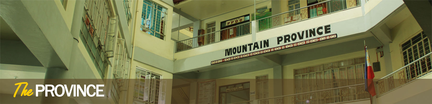

Mountain province is located in the vast mountain ranges of the cordillera region in northern luzon,
Although it's capital is Bontoc, it is just one of the ten municipalities of mountain province and all in all it has 144 barangays..
Many years during the Spanish period, Barlig is divided into three (3) ethno linguistic group; the i-Kachakran, i-changyasan or i-Lias and the
i-Fiallig.
Barlig Cluster
There are written history of Barlig in different descriptive manners, however they have the same essence that Barlig is inhabited before the great flood during the deluge itself and it was confirmed by the old folks that their parents orally told them. It was told that the place was rich in wild life such as deer, pigs, squirrel, cloud rat, fishes, and frogs.
Lias Cluster
About 16 kilometers from Fiallig, the I-Lias or I-Changyasan lived, they have distinct dialect compared to the I- Fallig and I-Kachakran and they have their own historical origin. In the olden times, Lias was referred to as Changyasan and/ or Mangya-an. But name Lias which is more popular among its neighbor and Bodong (Peace Pact) tribal counterpart became permanent and official. It was derived from the nearby brook called Lias. It is one among those important brooks and streams which have numerous extensive irrigation ditches dug by its inhabitants.
Kadaclan Cluster
About 27 kilometers away from Barlig Center, the kadaclan Cluster of barangays (Chupac, Lunas, kaleo, Ogo-og) can be viewed. The history of Kadaclan may have started at the time Akangan discovered the place he called Kachakran “the big river” habited with fish. Little is known about this, except that when Akangan and his tribe settled here. Some years later, they cultivated the lands near the place and made a living of the new found land. From this particular place called Kachakran, places nearby were cleared and cultivated as the tribe increased in population. At the same time people from other place began to trade with our forebears. Some of these traders decided to stay for good.
Besides political underpinning, the lasting legacy of the spanish and american regimes in Bontoc is religion. Until now, the municipality hosts the seats of Roman Catholic and Episcopalian (Anglican) bishops. Records from the Bontoc Roman Catholic Church reveal that the first baptism held in Bontoc was administered by a certain Father Jose Iglesia of the Augustinian Order on November 28, 1898. The Spanish missionaries however abandoned the Bontoc Mission sometime around the same year. After a lull for almost a decade, a group of Belgian missionaries led by Father Constancio Jurgens and John Sepulchre arrived in Bontoc in time to celebrate a midnight mass on December 24, 1907.
Both the Catholic and the Anglican church established an educational system that exist until today: The Saint Vincent’s School of the CICM
and The All Saints’ Mission School of the Diocese of Northern Philippines, Philippine Episcopalian Church.
Bontoc was proclaimed the capital town of the old Mountain Province on September 16, 1903, but it was only on June 25, 1963 that it was declared a municipality by virtue of Executive Order No. 42. The town is bounded on the north by the municipality of Tubo, Abra: northeast by the municipality of Sadanga: on the east by the municipality of Barlig: on the south by the municipalities of Banaue and Hungduan, Ifugao: southwest by the municipality of Sabangan; and on the west by the municipalities of Sagada and Besao. The municipality is an urban area which is comprised of 16 barangays namely: Alab Proper, Alab Oriente, Balili, Bayyo, Bontoc Ili, Can-eo, Caluttit, Dalican, Gonogon, Guina-ang, Mainit, Maligcong, Poblacion, Samoki, Talubin, and Tocucan. According to the latest survey conducted, Bontoc has a total population of 24,718. The populace rely mostly on agriculture as their major source of livelihood. The main crop planted in irrigated areas is rice, camote, gabi and vegetables planted alternately with rice. The unirrigated areas are planted with fruit trees, root crops like camote and cassava, legumes, corn, millet and other grains. Bontoc is the center of trade and commerce, business, and education of the province since it hosts banks, government offices, commercial business establishments, and higher learning institutions. Bontoc can only be accessed by land. It is 146 kilometers from Baguio City through the Halsema Highway. Bus lines from Baguio to Bontoc are the Rising Sun Trans and the GL Trans. There are also PUVs destined for the same route.People from the Ilocos Region can access the town through the Cervantes-Tadian-Sabangan-Bontoc Road. Bontoc is also a two and a half hour drive from Banaue, Ifugao.
The early settlers of present day Natonin are composed of hunting and farming tribes (Balangao, Ha’ki, Maducayongs & Kadaclan).
It is believed that they inhabited the place even prior to the coming of the Spaniards on Philippineshore as evidenced by the expanse of the rice terraces build on mountain slopes using only wooden tools.Because of the expanse of the rice terraces, Natonin had been the supplier of rice to the tribes of Tanudan to the north, the people of present day Paracelis to the east, the settlers of Barlig to the west and to the tribes of the former Mayoyao to the south.
The Municipality of Natonin lies some 74 kilometers east of the capital town of Bontoc and 25 kilometers west of the easternmost municipality of Paracelis.It is flanked on the North by Tanudan in Kalinga; east by Paracelis, Mountain Province; west by Barlig, Mountain Province; and south by Aguinaldo in Ifugao.
TOURIST SPOTS
Mabarotbot
Found at Sitio Mabullog, Barangay Bantay that can be reached by a 1-hr drive from the Town Proper passing through the muddy road; and a few minutes’ walk from the road. It’s a place where you can see bubbling pools of mud caused by deposits of suspected methane gas.
Canabo Falls
A 15 minutes drive away from the Town center and take about 10 minutes walk passing through the rice field and stream. About a meter high
Nansawang Falls
A 20 minute drive from the Town Center and about 5 minutes walk from the road.
Nansusu (Little Chocolate Hills)
Corn Plantation
Having the biggest land agricultural land in the province, Paracelis is widely occupied by Corns planted in a flat terrain or stretch of hills that can be seen in every part of the 9 barangays.
AGRICULTURAL PRODUCTS
The major crops extensively being grown in the flat areas of Paracelis are corn and palay. The others crops being grown are primarily for commercial purposes like banana, coffee, mango, citrus and oranges.
FESTIVAL
Paracelis holds its annual municipal fiesta 21-25 of April every year which serves as a potential tourist attraction featuring dances and other cultural activities and participated by barangay representatives.
TOURIST SPOTS
1. The Fuwaas Falls is a perfect picnic ground to spend your summer vacation with your friends, families and relatives. After a 40 minute trek from the village, following the rice field irrigation (‘arak), a waterfall lazily drops from above the mountain down the pool. About 50 meters in height, has been the favorite picnic spot of the youths in Belwang especially summer vacation because of the cold and crystal - clear water. Swimming and sight-seeing is not only one can enjoy when visiting the waterfalls, but also fishing. Fishing in the pool is rewarding since it is abundant with delicious eel ‘Egat”, the favorite exotic delicacy of the villagers. Villagers said that good divers tried to reach the bottom of the pool and stayed inside the pool for 20 to 30 minutes, but all failed to reach its waterbed.
2. The Angoten Cave- This unknown natural cave has caught the interest of local and foreign tourists. Even nature enthusiasts in Mountain Province desired to follow the end of this cave. Situated only less than a kilometer up the hills of Belwang, it can be reached by foot for an hour from where the community people live.
The Angoten Cave got its name from a hunter named “Angoten”, who was the first man to discover the cave. From the story told by the old folks of Belwang, Angoten went inside the cave to hunt for birds. However, while hunting, his torch went out and was unable to locate the passage out of the cave. Angoten wandered around the cavern until he decided to follow the underground river flowing inside the cave. For days, Angoten’s family waited for him to come home but there was no sign of him. Angoten was given up dead by his tribesmen until one day; word was received by the villagers that he appeared in town of Sagada after he went missing. Until now, no explorers have duplicated Angoten’s adventure. However, the villagers believed that one of the rivers coming out of Sagada’s limestone cave has its source in Belwang and an underground river is found inside the mountains of Bontoc. .
Inside the cave, a waterfall lazily drops from above of the cave down to the mouth of the cave where weary travelers who entered the cave may dip in their tired feet to the crystal –clear water.
3.The Kansel Cave
The last stop upon climbing up the hill of Belwang is the Kansel Cave.
Upon entering the mouth of the Kansel cave, the cool breeze makes you feel that the one-hour hike up the hill is more than its worth. Everyone who enters the cave has the experience to drink fresh water flowing freely inside the cave and dip their tired feet into the cold water.
The cave is inhabited by a flock of birds distinguished as sparrows. Since the Kansel Cave is the home of these sparrows, their nests hanged in the different rock formations in the cavernous cave. Everyone who enters the cave is allowed to taste the sparrows’ fresh eggs, but not to destroy the home of these birds.
When you asked the villagers how the cave got its name, they will readily share you the story. The villagers shared that a group of men who were natives of Sadanga went inside the cave. However, their torch went off while inside the cave. They were trapped and unable to find their way out of the cavernous cave without any light to use. The following day, the villagers tried to find this group of men. When the villagers were able to locate the group, they found them likely imprisoned in a prison cell. From that day onwards, the villagers named it as the Kansel cave.